Texas Reality Capture & Surveying
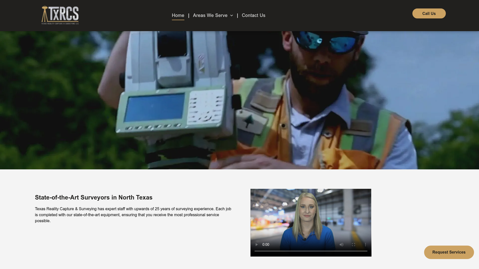
Texas Reality Capture & Surveying offers a range of land surveying services, including boundary surveys, platting, topographic surveys, and elevation certificates. With over 25 years of experience, the company serves Waxahachie and surrounding areas in Ellis County, as well as parts of Hill, Johnson, Navarro, and Dallas Counties.
Services offered by Texas Reality Capture & Surveying
- Land Surveyor
The business provides a range of land surveying services including boundary surveys, topographic surveys, and elevation certificates, catering to both residential and large-scale projects.
- Wheelchair accessible parking
Categories
Cities
More local Land Surveyors in Dallas-Fort Worth
View AllPlatinum Engineering is a North Texas firm delivering precision aerial imaging & thermal diagnostics, RPLS-led surveys (ALTA, boundary, topographic), and turnkey civil engineering design (P.E.-driven). We provide CAD/GIS-ready data and plan sets with rapid turnaround.
Welcome to Trans Texas Surveying and Mapping, LLC - your trusted land surveyor! We pride ourselves on delivering accurate and reliable surveying and mapping services across Texas. With our state-of-the-art technology and experienced team, we provide comprehensive boundary surveys, topographic surveys, construction staking, aerial mapping, LiDAR mapping, and FEMA elevation certificates with precision and efficiency. Whether you're a homeowner, developer, or contractor, we are here to assist you in making informed decisions about your land. Trust Trans Texas Surveying and Mapping, LLC to help you navigate through your surveying needs with professionalism and excellence. Contact us today for a consultation!
For over 25 years, Texas Surveyors has been providing professional surveying services in the Dallas Fort Worth Metroplex area and throughout all of Texas. Texas Surveyors has surveyed many Cities, Counties, School Districts, Mortgage Companies, and Title Companies. Texas Surveyors serves both the public and private sectors in all categories of surveying.

